To find dry dirt, we rely on the following front range trail conditions resources:
303 Trail Monitor
This is a collection of crowd sourced information about trails in the front range and sometimes beyond. This is the most helpful resource we have found. It provides the most up to date data and the most detail. The only downside, as with most social media is that you may have to wade through some bickering amongst group members. This is a group that you have to be accepted in to by the admins so be sure to submit your request before you need to know the conditions!
Sports Garage
Pick up the phone and call us! We are avid riders and as such we are always on the hunt for dry dirt. We’ll have first hand accounts and the important details, like which blind corners are icy.
Bouldercounty.gov
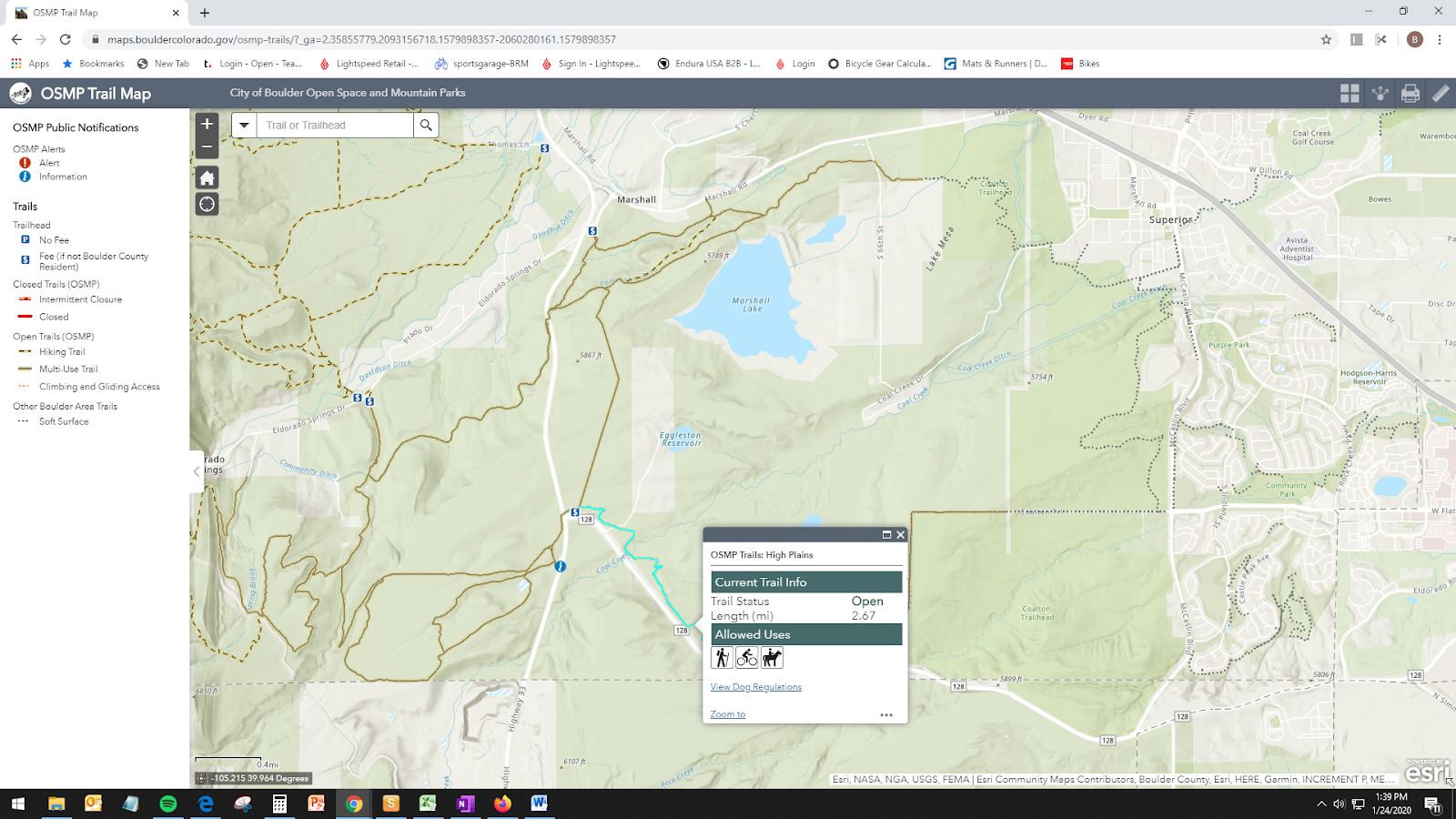
This is most helpful for the Marshall Mesa trail system and the trails near the Boulder reservoir. It provides an interactive map that will show closed trails in red. Unfortunately this resource is fairly narrow in the scope of trails that it covers.

Twitter #bocotrails
If you are a Betasso, Hall, and Heil enthusiast this should be your go to. The rangers for all of these trails typically update their twitter accounts to reflect trail conditions. You can Follow Betasso “@RangerFowler.” Heil is at “@RangerGrady.” Hall is “@RangerJQueen.” You can also follow the hashtag #bocotrails.
Jeffco.us
If you are a fan of the trails to our south check this page before hopping on Highway 93. You would be amazed how often the town 20 miles away missed the storm that hit us.
MTB Project
Not only is this application useful for finding your way out on the trail, it also has trail conditions. It tends not to get updated as frequently for our local trails. We use this to find beta on trails outside of Boulder.
